Directions
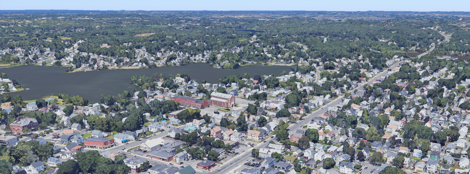
St. Pius V School is located at 28 Bowler Street in Lynn, Massachusetts. Visitor parking is allowed on Bowler Street except the yellow-marked NO PARKING area in front of school.
St. Pius V Church is located just east of the school at 215 Maple Street in Lynn. Parents may park in the small parking lot to the right of the church during school events and school drop off and pick up.
Coming from the North or South on Route 1
Exit Route 129: Lynnfield/Lynn.
Take 129 East (Lynn), follow for 0.8 miles until you come to the rotary (Goodwin Circle).
Take the first exit: 129 East (Lynn).
Follow 129 East for 3.2 miles (passing along the way Union Hospital and St. Mary's Cemetery).
Proceed through Wyoma Square, bear to the left, and follow 129A East.
For the school office: Turn left onto Bowler Street.
The school is on the right at 28 Bowler Street.
For the church: Turn left onto Maple Street (first street past Bowler).
The church and large parking lot are on the left.
Coming from the South on Route 128 North
Take exit 44B Lynn, which will bring you to the rotary (Goodwin Circle).
Take the second exit: 129 East (Lynn).
Follow 129 East for 3.2 miles (passing along the way Union Hospital and St. Mary's Cemetery).
Proceed through Wyoma Square, bear to the left, and follow 129A East.
For the school office: Turn left onto Bowler Street.
The school is on the right at 28 Bowler Street.
For the church: Turn left onto Maple Street (first street past Bowler).
The church and large parking lot are on the left.
Via Lynnway Route 1A from Callahan Tunnel Boston
(or Ted Williams Tunnel from the South Shore)
From tunnel follow Route 1A/60 to rotary in Revere.
Follow Route 1A until it becomes the Lynnway.
Follow Lynnway over the General Edwards Bridge.
Continue on the Lynnway to Market Street (pass WalMart and Garelick Farms).
Turn left at Market Street (North Shore Community College).
Follow Market Street to the end.
City hall and library will be in front of you.
Bear left and then right to Franklin Street, driving between city hall and library.
Follow Franklin Street to Western Avenue (Route 107 / Super Stop and Shop).
Turn right onto Western Avenue (Route 107).
Follow Western Avenue to Chestnut Street (Mobil station will be on your right).
Turn left onto Chestnut Street.
Follow Chestnut Street to Bowler Street (Richdale on the corner).
Turn right onto Bowler Street...school is halfway down the street on the right.